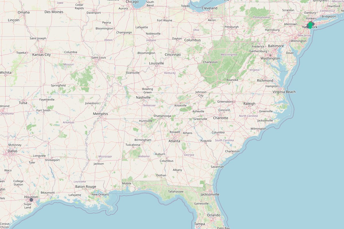
Places on this map
@nycpeak tracks the changing face of New York, contrasting archival scenes from the 1980s with modern skylines.
Views of the Statue of Liberty in New York Harbor remain a defining skyline anchor in @nycpeak's photography.
Connecting Manhattan to Brooklyn, the Brooklyn & Manhattan Bridge corridors provide wide pedestrian paths for skyline perspectives.
Spanning the center of Manhattan, Central Park serves as a focal point for scenic skyline photos and long park walks.
@nycpeak captured Brooklyn street scenes and coffee shops just across the river from Lower Manhattan.
Bright digital billboards and heavy pedestrian crowds define Times Square in @nycpeak's night photography.
Scenes of Greenwich Village center around Washington Square Park, reflecting decades of street life in Lower Manhattan.
@nycpeak highlighted Greenacre Park in Midtown East as a quiet outdoor space tucked away from regular tourist crowds.
Riding the Roosevelt Island Tramway offers aerial views across the East River, noted by @nycpeak as a lesser-known transit experience.
Located inside Grand Central Terminal, The Whispering Gallery was picked by @nycpeak for its unusual acoustic arches.
Tucked away on the Upper West Side, Pomander Walk appears on @nycpeak's radar as a quiet, historic enclave of English-style homes.
An elevated plaza above the Financial District, The Elevated Acre gives visitors a lawn and harbor view away from street-level traffic.
Historic Lower Manhattan steakhouse Delmonico's appeared in @nycpeak's rainy day walk past classic Financial District dining rooms.
Located along Hanover Square, Harry's Side Bar offers a subterranean cocktail stop featured in Lower Manhattan.
Stone Street pub Ulysses' Folk House provides a classic tavern setting highlighted during a rainy downtown walk.
Subway entrances at Broad St. Station connect directly into the historic banking streets of Lower Manhattan.
Serving commuters in the Financial District, Wall Street Station appears in @nycpeak's transit photography.
The rebuilt World Trade Center complex anchors Lower Manhattan with tall modern architecture and open public plazas.
Known for cast-iron architecture and cobblestone streets, Soho is included in @nycpeak's guide to downtown neighborhoods.
Upper Manhattan routes through Harlem feature on @nycpeak's overview map of distinct New York neighborhoods.
Bordering Central Park, the Upper East Side was noted by @nycpeak as a classic residential neighborhood for street photography.
Crossing the East River leads into Queens, featured in @nycpeak's broader map of the outer boroughs.
Accessible by ferry from Lower Manhattan, Staten Island rounds out the southern edge of @nycpeak's citywide map.
Out on the southern Brooklyn coast, Coney Island offers seaside boardwalk strolls and classic amusement park scenery.
Spanning the Narrows between Brooklyn and Staten Island, the Verrazzano Bridge frames long-distance harbor vistas.
Situated near Liberty Island in Upper New York Bay, Ellis Island marks another historic harbor landmark on the map.
Walking along the Hudson River waterfront offers open views looking west across to New Jersey.
Just south of Manhattan, Governors Island provides car-free park paths and skyline lookouts across the harbor.
Waterfront paths along the East River look back onto the historic bridges and towers of Lower Manhattan.
Rainy streets, historic taverns, and transit stations make Lower Manhattan a favorite district for @nycpeak's walks.
Towering office buildings and busy transit hubs define Midtown Manhattan on @nycpeak's urban itinerary.
Sitting narrow in the East River, Roosevelt Island is reached via tram or subway for quiet riverfront walks.
Industrial conversions and waterfront parks in Long Island City provide open looks across to Midtown Manhattan.
Located in western Queens, Astoria features neighborhood dining and streetscapes outside the central Manhattan core.
Looking back from the western side of the Hudson River, Jersey City offers direct views of the Lower Manhattan skyline.
Situated across the harbor in New Jersey, Bayonne marks the outer industrial periphery included in the regional overview.
Walking across the Manhattan Bridge brings dramatic views of Lower Manhattan and Dumbo, as photographed by @nycpeak.
@nycpeak shared an urban history post about Downtown Houston and how 1970s suburban flight left huge tracts dedicated to parking lots.
Positioned at Fifth Avenue and Broadway, the Flatiron Building was featured by @nycpeak for its distinctive triangular architecture.
Fifth Avenue runs past historic commercial corridors and landmark facades highlighted across @nycpeak's city walks.
Broadway cuts diagonally across Manhattan, forming historic junctions like the public plaza beside the Flatiron Building.
Intersecting Fifth Avenue and Broadway, 23rd Street marks the busy Flatiron intersection documented in street photos.
✨ BUILT WITH NOWY
Turn your travel posts into a shareable, monetizable map.
Make your own map →Is this your map? Claim it